docomap
Portable
Compact and lightweight GPS terminal
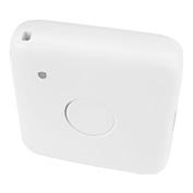
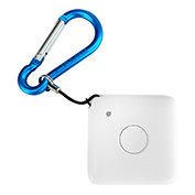
Small GPS Tracker
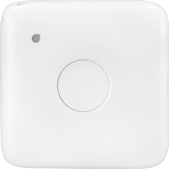
Despite its small size and light weight, it can transmit location data once every 60 seconds for up to one month, and its high dustproof and waterproof performance (IP65) makes it suitable for a wide range of situations.
Base Price:
Open
Monthly fee:
1,480
円/台(税込1,628円)
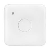
Small GPS Tracker
Despite its small size and light weight, it can transmit location data once every 60 seconds for up to one month, and its high dustproof and waterproof performance (IP65) makes it suitable for a wide range of situations.
GNSS Positioning Satellite System
The small GPS tracker can use US GPS, Japan's MICHIBIKI (QZSS], Russia's GLONASS, China's BeiDou, as well as base station positioning to obtain high-precisionlocation information.
Transmission Interval
Receive location information once every 60 seconds. You can also use Google Maps functions such as traffic information and Street View directly on DoCoMAP.
docomapPLUS Support
Supports the docomapPLUS application for DoCoMAP, which records operation status using a smartphone, enabling real-time recording and management of operation status linked to vehicle location information in the cloud, as well as daily operation reports and labor management.
DoCoMAP Support
In addition to real-time location information, vehicle travel tracing, operation history, and a time machine function that allows the location of all vehicles to be checked are stored for one year and can be checked at any time. In addition, rain cloud information, company and shipper information, and more can be easily checked on the map screen.
Dashboard Support
A simple and easy-to-understand administrator-only page. Location information sent from devices and operation status data sent from dedicated applications can be managed in the cloud. In addition, you can access the Dashboard anytime, anywhere from your browser to check the data.
LTE support
The device can be used within LTE areas nationwide. It is 5 times faster than the conventional communication standard (3G) and allows administrators to manage location information immediately.
| Size (mm) | W49 × D15.5 × H49 |
| Weight | About 39g |
| Positioning method | GNSS (GPS/GLONASS/BeiDou/QZSS], Wi-Fi, base station positioning |
| Built-in sensor | Accelerometer |
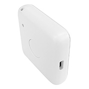
| Power supply | USB Type-C |
| Charging time | About 3 hours |
| Communication method | LTE-M (Cat.M1) |
| Battery | Built-in 1250mAh lithium-ion battery |
| Operating environment temperature | -10℃ to 50℃ |
| Ingress | IP65 |
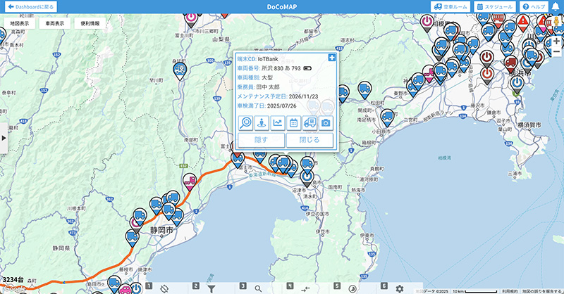
Real-time location information
With DoCoMAP, you can display and manage the position of vehicles on Google Maps. It is also possible to directly use Google Maps functions such as traffic information and street view.
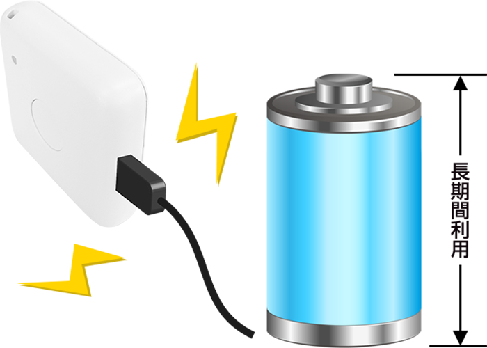
Built-in battery supports up to one month of use
After a full 3-hour charge, location data can be transmitted every 60 seconds for up to one month.
* Usage time may vary depending on the operating environment.
Obtain location information even in urban areas and underground.
In addition to GNSS (GPS, Michibiki QZSS, BDS, and GLONASS], the system also uses WiFi and cellular base station data for positioning, making it usable even in areas where satellite signals are unavailable, such as urban environments and underground

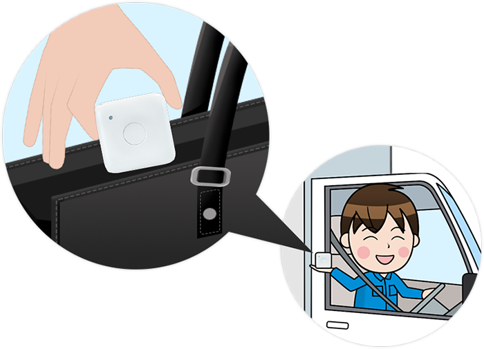
Ideal for portable use
Compact, lightweight, and waterproof, it features a built-in battery that allows for location tracking every minute for up to one month. This enables easy location management and tracking for your own company's drivers as well as partner companies.
docomap JAPAN ・ Customer Support
03-6809-2105
Business hours 9:00 ~ 18:00 (Except weekends and holidays)